Simulator
Drive on the Moon, rebuilt from its photographs.
Each scene is a real place rebuilt in 3D from many photos taken by NASA's Lunar Reconnaissance Orbiter. Drive a rover across it, move the Sun through a lunar day, and see what the rover's camera sees. Then take the scene into Gazebo, Isaac Sim or Unity.
1 · Photos
Dozens of LRO pictures
A stereo pair and up to 28 more NASA photos of the same place, under the Sun at many heights.
2 · Shape
3D ground
Stereo heights sharpened with shape-from-shading: how shading changes from photo to photo reveals the slopes.
3 · Surface
The ground's own brightness
Lighting removed from every photo, leaving light and dark soil as it really is.
4 · Scene
A world to test in
The Sun and Earth over a whole lunar day from NASA SPICE, far hills that cast shadows, and a rover.
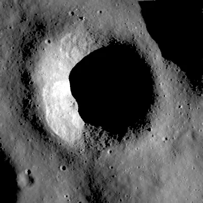
North Ray crater
Apollo 16 landing region, Descartes highlands
8.818°S 15.487°E · 1.6 km across · 2.0 m detail
Correlates with an unseen LRO photo at r = 0.98
Open the simulator →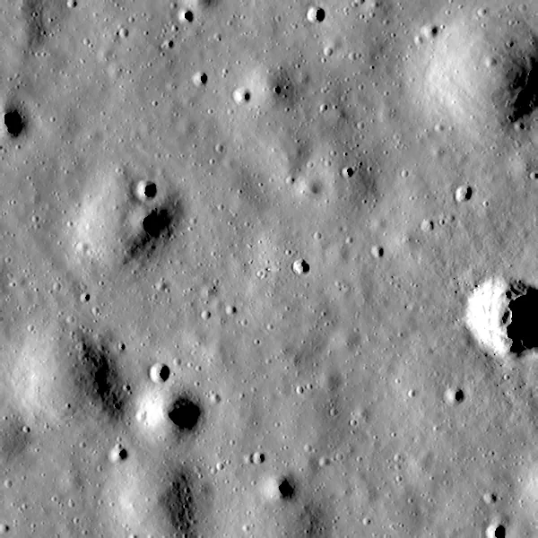
Tranquility Base
Apollo 11 landing site, Mare Tranquillitatis
0.674°N 23.473°E · 1.2 km across · 1 m detail
Correlates with an unseen LRO photo at r = 0.94
Open the simulator →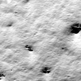
Shackleton connecting ridge
Ridge between Shackleton and de Gerlache craters, lunar south pole
89.502°S 135.206°W · 1 km across · 3.5 m detail
0.8 m RMS spread against LOLA laser heights
Open the simulator →Need another place?
NASA has published stereo terrain for hundreds of LRO sites, from Apollo landing sites to candidate Artemis regions. Tell us where your rover is going and we will build the scene, with labelled images from our renderer if you need training data.
Request a scene →Scenes are reconstructions, and each one says how well it matches the real Moon. Rocks smaller than a few grid cells are not in the data. The browser view is a fast approximation of our renderer; labelled datasets come from the renderer. Photos: NASA/GSFC/Arizona State University.