Imagery · Robot vision
Train your robot’s eyes before launch.
Real south-pole terrain under every Sun angle, labeled to the pixel and checked against real photos from orbit.
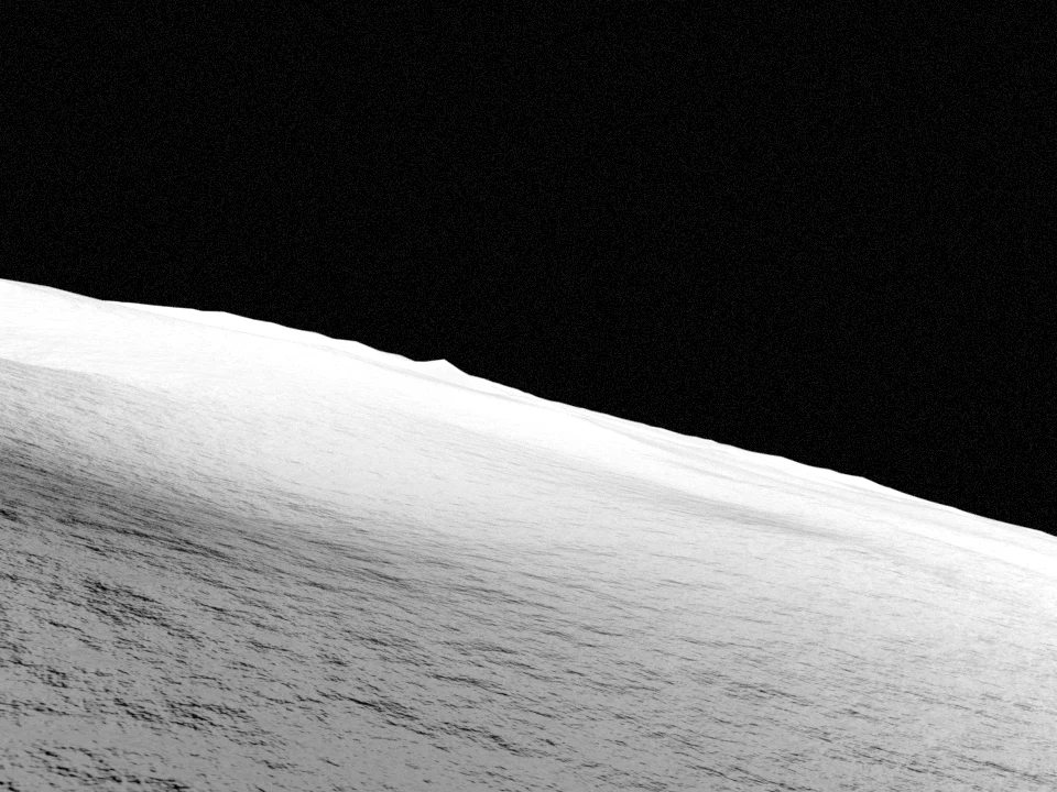
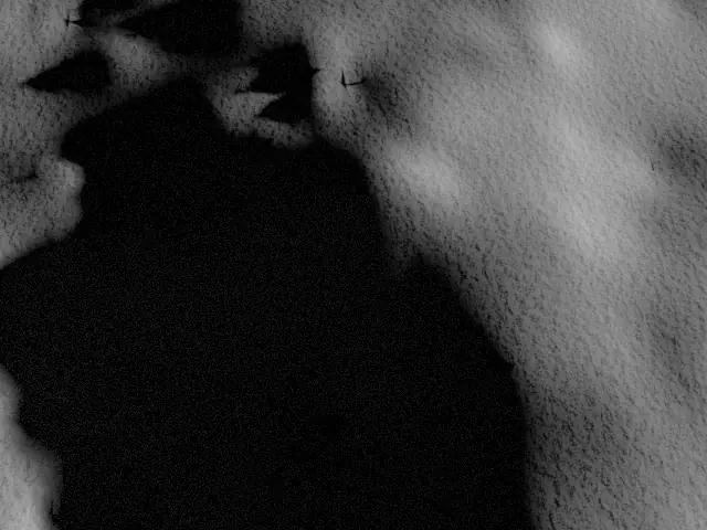
Rendered view · 89.50°S 135.20°W · Sun 1.03° above the horizon, from the S
One lunar day, one square kilometre
The polar Sun circles the horizon. So do the shadows.
At 89.5°S the Sun stays within two degrees of the horizon and walks all the way around the sky. Same ground, twelve Suns.




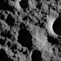
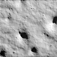
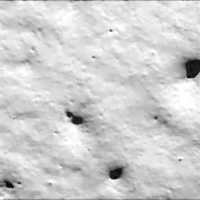
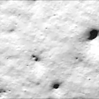
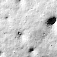
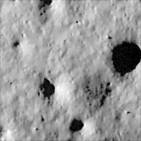
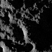

Looks like the real Moon
NASA's laser-measured terrain, lit by the Sun exactly where it will be on your dates.
Labels included, exact to the pixel
Shadow, depth, slope, craters and hazards for every picture, in standard training formats.
Checked against real photos
Compared with real orbiter photos of the same place and Sun. Results published, gaps included.
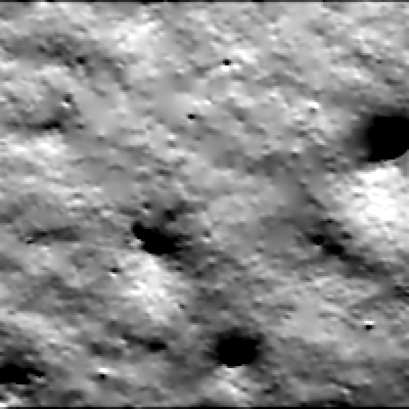
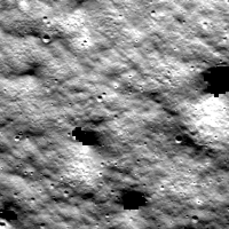
Validation
Same place, same Sun, real photograph.
Our picture of the ridge next to a photo NASA's Lunar Reconnaissance Orbiter took on 2010-09-22, with the Sun 1.2° above the horizon.
Passes all three of our checks. Brightness and the large landforms match. Fine surface texture is the known gap, because NASA's terrain data is coarser than the photo.
Compare them side by side →Landing-navigation benchmark
Can your lander find itself when the shadows move?
Practice landings onto 3 south-pole sites, with the true camera position for every frame and an open scoring tool. Navigation that matches the ground to a map works when the lighting matches the map, and fails when the Sun has moved.
Watch a descent and see the leaderboard →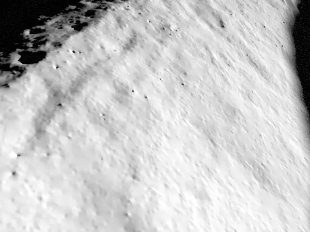
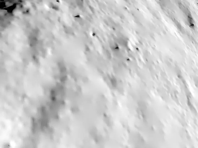
Need your landing site, your camera, your Sun?
We build custom datasets for navigation and camera teams: any south-pole site, your mission dates, your camera, tens of thousands of labeled pictures.
Request a dataset