Sample catalog
Sample datasets
Free samples rendered by our pipeline from public NASA data. Browse every frame and label in the viewer; the full packages (16-bit PNG, EXR, GeoTIFF depth, COCO) are sent on request.
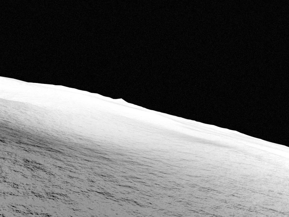 Featured
Shackleton-de Gerlache ridge, one lunar day
shackrdge02_lunar_day · v0.1.0 · 89.50°S 135.20°W
The 1 km LOLA fixture tile on the Shackleton-de Gerlache ridge rendered at twelve Sun positions spread evenly over one synodic month (29.53 days), from a nadir map camera and two rover-height navigation cameras. Sun geometry from SPICE; horizons from an 80 km context DEM.
- Images
- 36
- Sun positions
- 12
- Sun elevation
- 1.03–1.95°
- Azimuth span
- 329°
Cameras Nadir map camera · Rover camera, SW of tile · Rover camera, NE of tile
Labels shadow · depth · slope · craters · hazard · COCO
2024-01-10 → 2024-02-06 · DEM 5 m/px
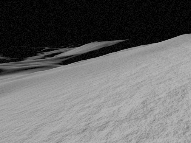
Shackleton-de Gerlache ridge, LOLA 5 m, four Sun azimuths
shackrdge02_5m_demo · v0.1.0 · 89.50°S 135.20°W
Rendered lunar terrain from a LOLA DEM with a lunar-Lambert photometric model; sub-pixel detail, when enabled, is synthetic. Labels come from the DEM and a crater catalog.
- Images
- 12
- Sun positions
- 4
- Sun elevation
- 1.08–1.91°
- Azimuth span
- 165°
Cameras Nadir map camera · Descent camera, oblique · Rover navigation camera
Labels shadow · depth · slope · craters · hazard · COCO
2024-01-04 → 2024-01-30 · DEM 5 m/px
Need a different site, Sun window or camera? Request a custom dataset.