Ground views
Stand on the Moon.
19 famous places on the Moon at eye level, from dawn to dusk of one lunar day. Each view is rendered from NASA's measured terrain, with the Sun where NASA's ephemeris puts it at each time shown.
Renders, not photos: rocks smaller than NASA's terrain pixels are added at realistic numbers in random places, and the spacecraft aren't drawn.
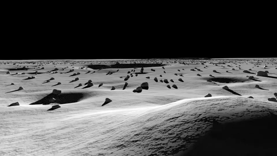 Rendered · looking E
Apollo 11, Tranquility Base
0.6742°N 23.4731°E
From the lunar module's landing spot, looking east across the mare toward the rim of West crater, about 550 m away.
Terrain: LROC NAC DTM APOLLO11 (2 m per pixel); smaller rocks and craters are synthetic.
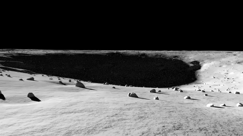 Rendered · looking SE
Apollo 12 and Surveyor 3
3.0128°S 23.4219°W
From the lunar module's landing spot, looking southeast into Surveyor crater, where Surveyor 3 had landed two and a half years earlier.
Terrain: LROC NAC DTM APOLLO12 (2 m per pixel); smaller rocks and craters are synthetic.
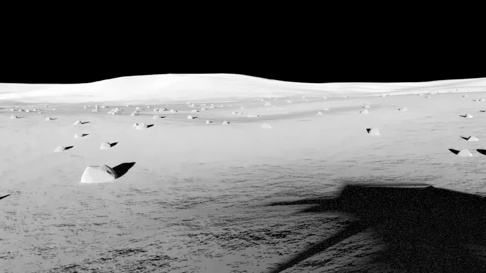 Rendered · looking E
Apollo 14, Fra Mauro
3.6459°S 17.4719°W
From the lunar module's landing spot, looking east up the slope toward Cone crater, about a kilometre away.
Terrain: LROC NAC DTM APOLLO14 (2 m per pixel); smaller rocks and craters are synthetic.
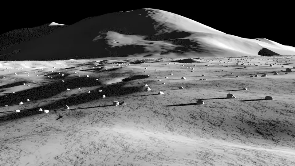 Rendered · looking S
Apollo 15, Hadley-Apennine
26.1324°N 3.6333°E
From the lunar module's landing spot on the plain, looking south to Mount Hadley Delta, which rises about 3.5 km above it. Hadley Rille, 2 km to the west, is hidden below the plain's edge at eye level.
Terrain: LROC NAC DTM APOLLO15 (2 m per pixel); smaller rocks and craters are synthetic.
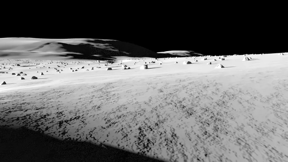 Rendered · looking S
Apollo 16, Descartes highlands
8.9734°S 15.5011°E
From the lunar module's landing spot in the Descartes highlands, looking south toward Stone Mountain.
Terrain: LROC NAC DTM APOLLO16_2 (2 m per pixel); smaller rocks and craters are synthetic.
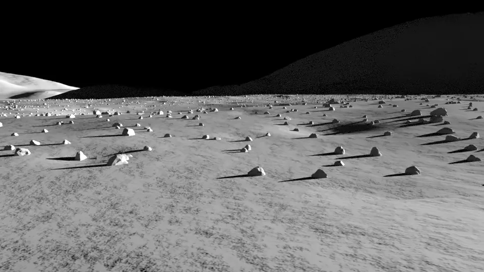 Rendered · looking S
Apollo 17, Taurus-Littrow
20.1911°N 30.7723°E
From the lunar module's landing spot on the valley floor, looking south-southwest at the South Massif, about 2 km tall.
Terrain: LROC NAC DTM APOLLO17 (5 m per pixel); smaller rocks and craters are synthetic.
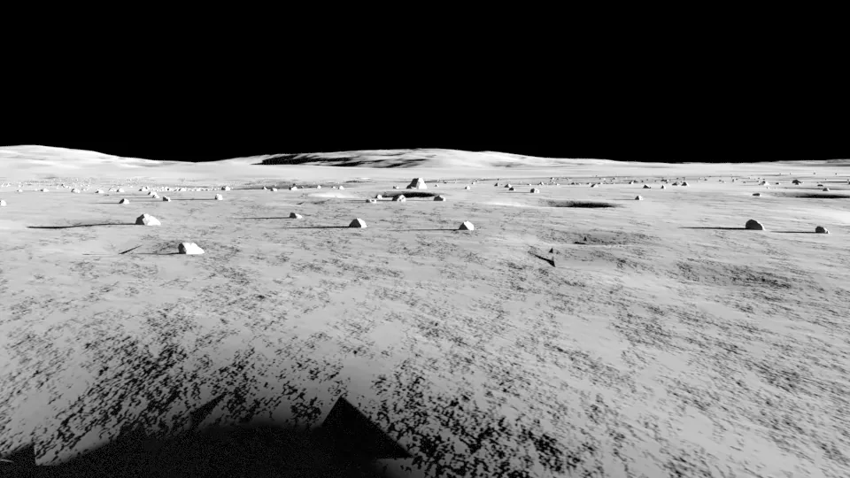 Rendered · looking N
Chandrayaan-3, Statio Shiv Shakti
69.3741°S 32.3200°E
The Vikram lander's spot in the southern highlands, looking toward the highest ground on its horizon.
Terrain: LROC NAC DTM VIKRAMSITE1 (3 m per pixel); smaller rocks and craters are synthetic.
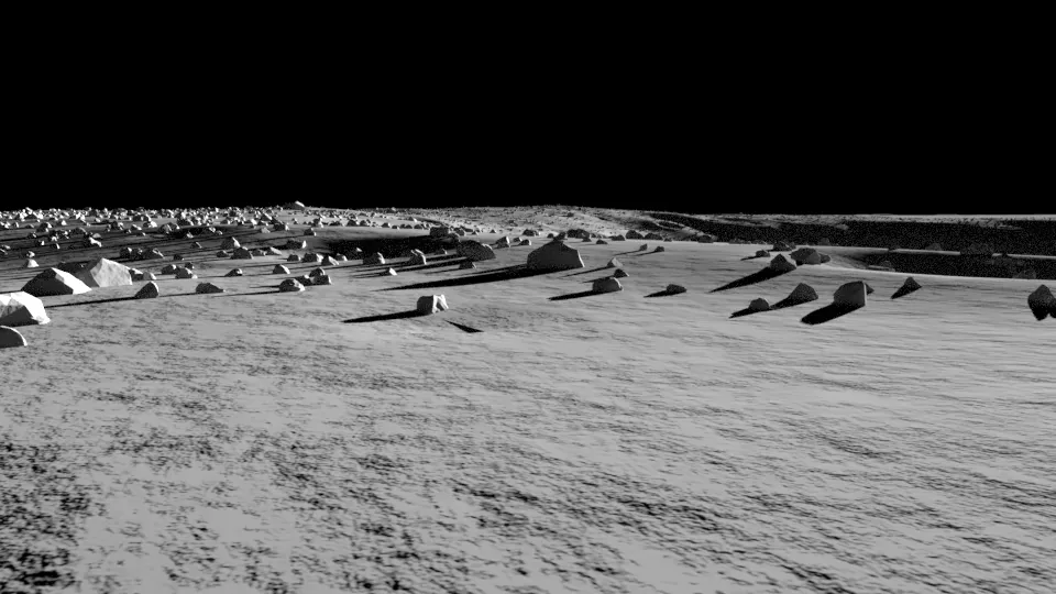 Rendered · looking SW
Chang'e 3 and Yutu, Mare Imbrium
44.1214°N 19.5117°W
Chang'e 3's landing spot in northern Mare Imbrium, looking toward the highest ground on its horizon.
Terrain: LROC NAC DTM CHANGE3 (5 m per pixel); smaller rocks and craters are synthetic.
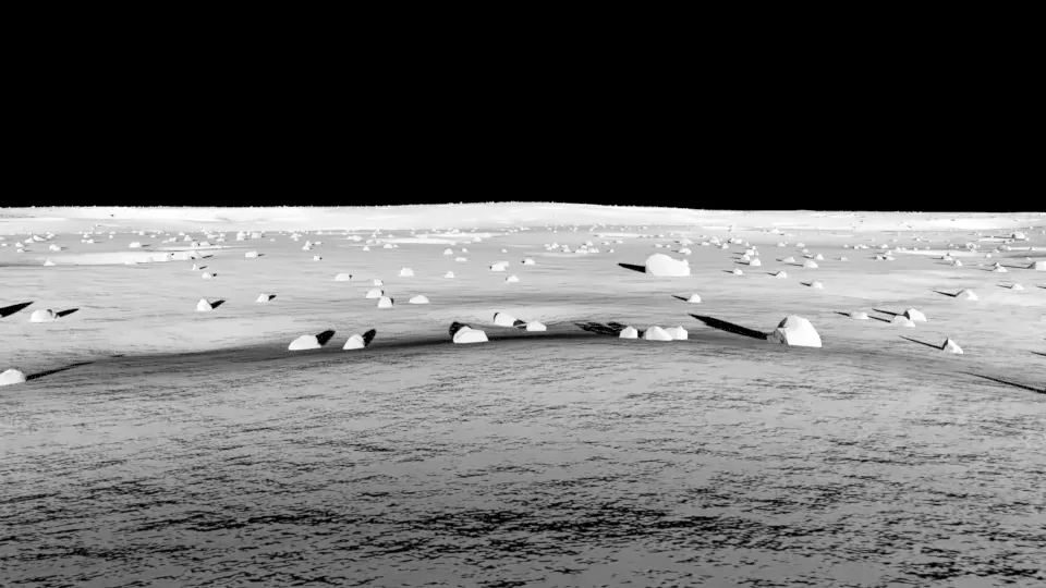 Rendered · looking E
Chang'e 4, Von Kármán crater (far side)
45.4562°S 177.5885°E
Chang'e 4's landing spot on the floor of Von Kármán crater, the first landing on the far side, looking toward the highest ground on its horizon.
Terrain: LROC NAC DTM CHANGE4 (5 m per pixel); smaller rocks and craters are synthetic.
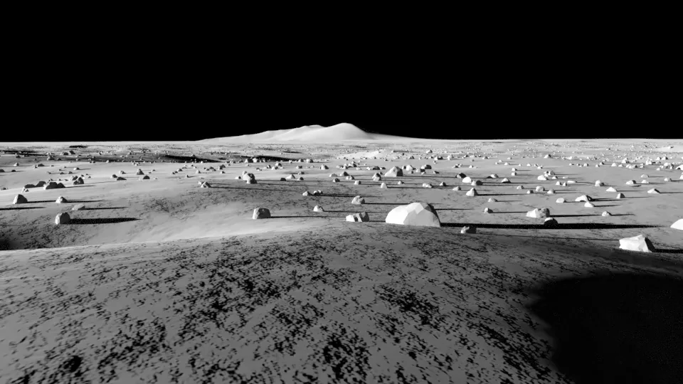 Rendered · looking S
Chang'e 5, near Mons Rümker
43.0576°N 51.9161°W
Chang'e 5's sample-return landing spot in northern Oceanus Procellarum, looking toward the highest ground on its horizon.
Terrain: LROC NAC DTM CHANGE501 (3 m per pixel); smaller rocks and craters are synthetic.
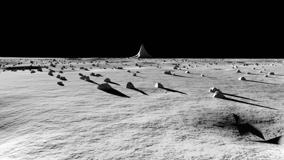 Rendered · looking SE
Chang'e 6, Apollo basin (far side)
41.6385°S 153.9852°W
Chang'e 6's landing spot in the southern Apollo basin, the first far-side sample return, looking toward the highest ground on its horizon.
Terrain: LROC NAC DTM CHANGE6 (4 m per pixel); smaller rocks and craters are synthetic.
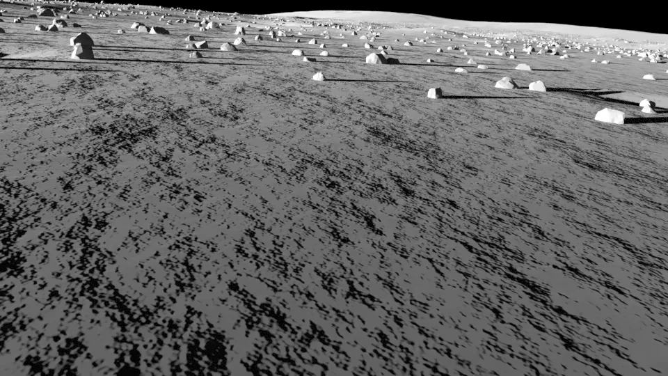 Rendered · looking SW
de Gerlache Rim 2 (Artemis region)
88.1420°S 63.6620°W
In NASA's de Gerlache Rim 2 candidate landing region for Artemis astronauts, looking toward the highest ground on its horizon.
Terrain: LOLA 5 m/px south-polar mosaic, 87-90 deg S (5 m per pixel); smaller rocks and craters are synthetic.
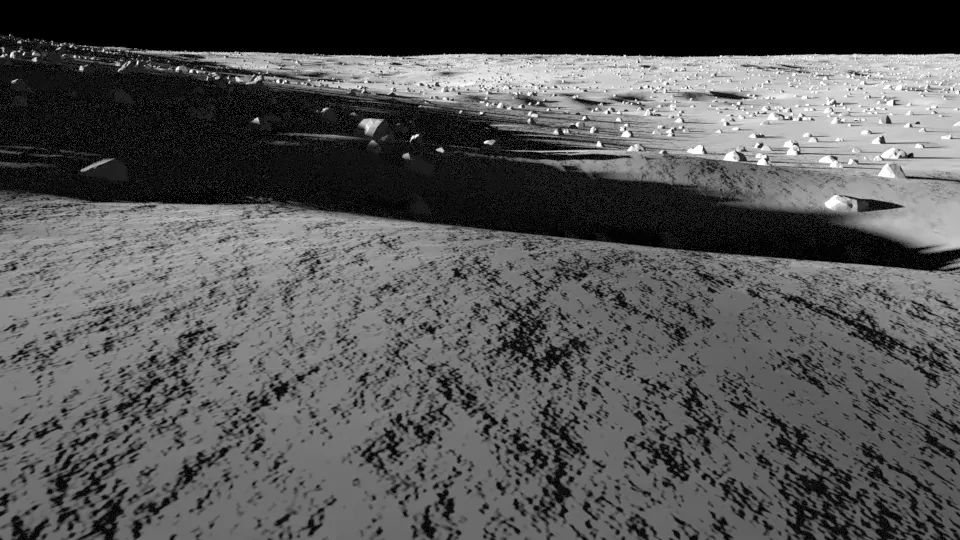 Rendered · looking SE
IM-1 Odysseus, near Malapert A
80.1300°S 1.4400°E
Where Odysseus came down near Malapert A, the first US landing since Apollo 17, looking toward the highest ground on its horizon.
Terrain: LROC NAC DTM MALAPERTA01 (3 m per pixel); smaller rocks and craters are synthetic.
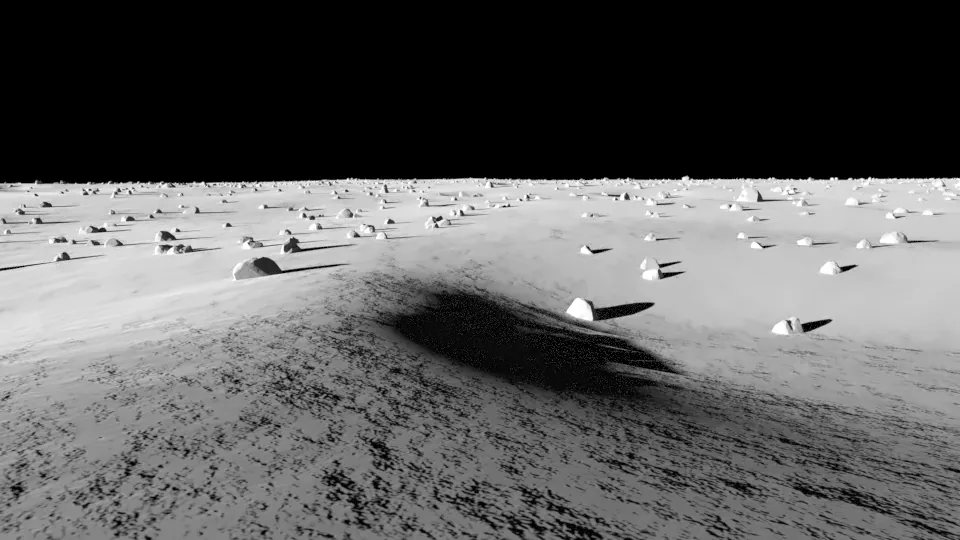 Rendered · looking SW
Luna 16, Mare Fecunditatis
0.5137°S 56.3638°E
Luna 16's landing spot, the first robotic sample return, looking toward the highest ground on its horizon.
Terrain: LROC NAC DTM LUNA16 (2 m per pixel); smaller rocks and craters are synthetic.
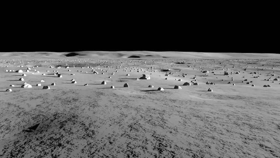 Rendered · looking N
Luna 24, Mare Crisium
12.7142°N 62.2129°E
Luna 24's landing spot in Mare Crisium, looking toward the highest ground on its horizon.
Terrain: LROC NAC DTM LUNA24 (2 m per pixel); smaller rocks and craters are synthetic.
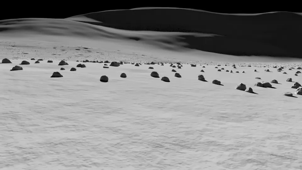 Rendered · looking E
Lunokhod 2, Le Monnier
25.8323°N 30.9221°E
Where the Lunokhod 2 rover stopped after 39 km of driving, looking toward the highest ground on its horizon.
Terrain: LROC NAC DTM LUNOKHOD2 (5 m per pixel); smaller rocks and craters are synthetic.
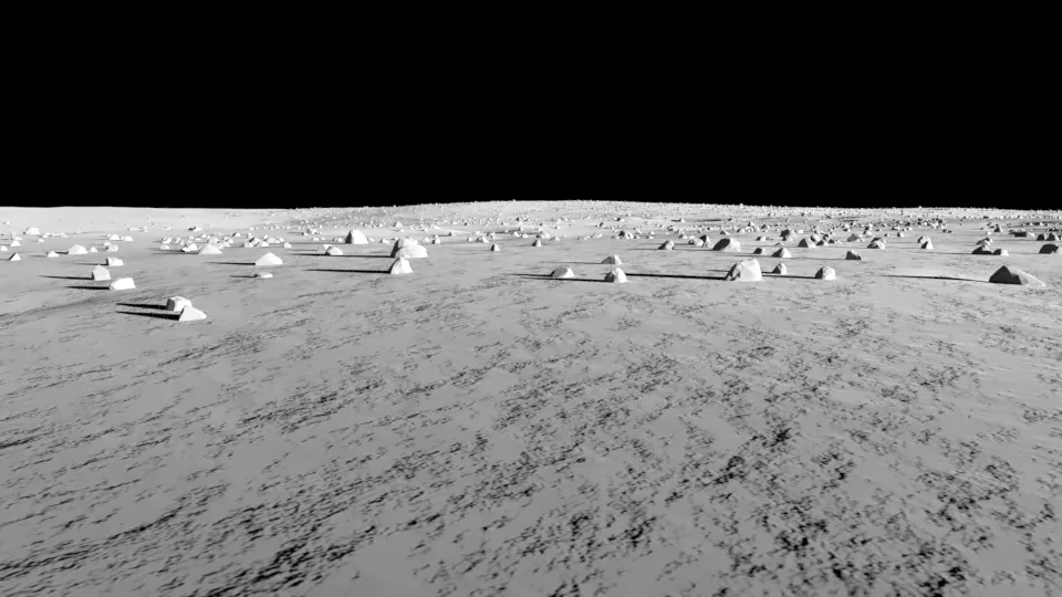 Rendered · looking SE
Reiner Gamma swirl
7.5850°N 58.7250°W
IM-3's target inside the Reiner Gamma bright swirl. The swirl is a brightness pattern, not relief, so it does not show here.
Terrain: LROC NAC DTM REINER (5 m per pixel); smaller rocks and craters are synthetic.
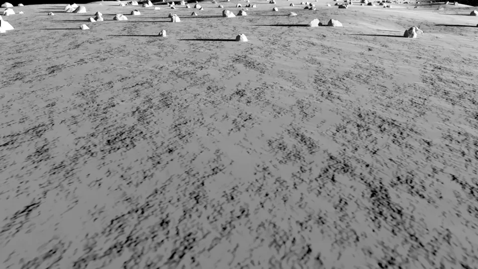 Rendered · looking W
Shackleton connecting ridge
89.5000°S 135.2000°W
On the ridge that joins Shackleton and de Gerlache craters near the south pole, one of the best-lit places on the Moon, looking toward the highest ground on its horizon.
Terrain: LOLA 5 m/px south-polar mosaic, 87-90 deg S (5 m per pixel); smaller rocks and craters are synthetic.
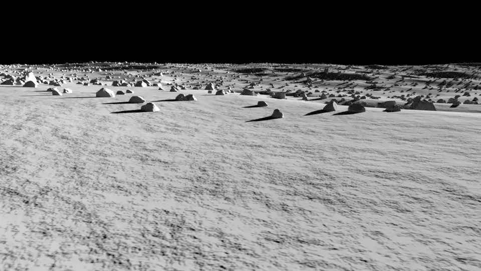 Rendered · looking SW
Surveyor 7, Tycho rim
40.9811°S 11.5127°W
Surveyor 7's landing spot in the rough ejecta north of Tycho crater, looking toward the highest ground on its horizon.
Terrain: LROC NAC DTM SURVEYOR7 (2 m per pixel); smaller rocks and craters are synthetic.