SampleRendered, not photographed
Shackleton-de Gerlache ridge, one lunar day
shackrdge02_lunar_day · v0.1.0 · 89.5018°S 135.2011°W · created 2026-10-11 01:00 UTC
The 1 km LOLA fixture tile on the Shackleton-de Gerlache ridge rendered at twelve Sun positions spread evenly over one synodic month (29.53 days), from a nadir map camera and two rover-height navigation cameras. Sun geometry from SPICE; horizons from an 80 km context DEM.
← → to step the Sun




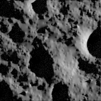
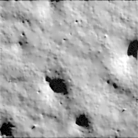
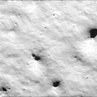
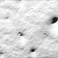
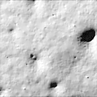
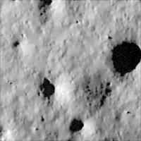
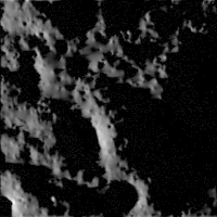

Sun 8/12 · az 120.4° SE · el 1.26°2024-01-27 05:25 UTC
Rendered · 64 spp · CPU · 200×200px5 m/px · polar stereographic, +y up
Terrain
- Region
- Shackleton-de Gerlache ridge (SHACKRDGE02)
- Centre
- 89.5018°S 135.2011°W
- Extent
- 1.0 × 1.0 km
- Source DEM
- 5 m/px LOLA
- Projection
- IAU_2015:30135
Rendering
- Engine
- Cycles · Blender 4.0.2
- Photometry
- Lunar-Lambert
- Normal albedo
- 0.2
- Samples
- 64 per pixel, CPU
- Fine detail
- Synthetic bump, 0.15 m
Cameras
- Nadir map camera200×200
- Rover camera, SW of tile960×720
- Rover camera, NE of tile960×720
Generic presets, never copied from a proprietary camera. Your own camera model is part of a custom dataset.
Honest limits
- The terrain is LOLA altimetry gridded at 5 m; real features smaller than that are not in the data, and the fine surface texture is synthetic.
- Sun positions are computed with SPICE for the listed times; they are predictions, not observations.
- Labels come from the DEM geometry and the Robbins (2018) crater catalog, not from human annotation.
- Previews here are 8-bit display stretches. Not data; the full package holds 16-bit PNG, EXR and GeoTIFF labels.
Rendered imagery: CC BY 4.0 (Hevelius). Source DEM: NASA LRO LOLA, public domain. Crater catalog: Robbins 2018 (USGS/NASA PDS), public domain.